Brought to you by Scott P. Rogers, Funkhouser Real Estate Group, 540-578-0102, scott@HarrisonburgHousingToday.com
Brought to you by Scott P. Rogers, Funkhouser Real Estate Group, 540-578-0102, scott@HarrisonburgHousingToday.com
Wednesday, June 10, 2020
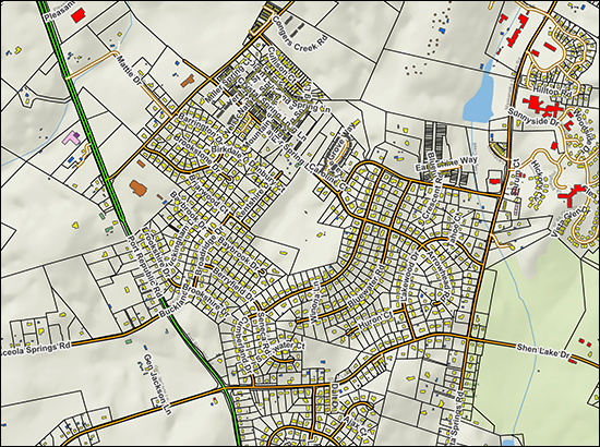
Rockingham County has launched a new GIS (Geographic Information System) and it's pretty fun. Check it out here...
Below are a few features I've discovered so far, and I'm sure there are even more interesting ways to use it to understand properties in Rockingham County.
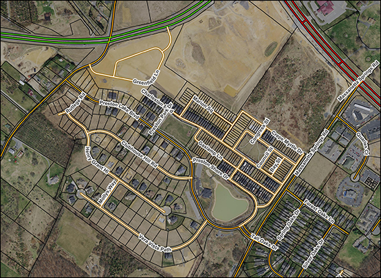
The aerial imagery is now from 2019 (instead of 2018) showing more recent development more accurately...
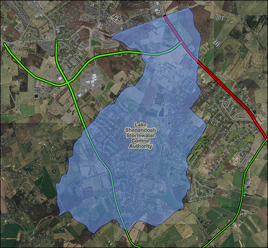
You can turn on the Lake Shenandoah Stormwater Control Authority to see if a property falls within this newly defined area with a new planned tax for addressing stormwater issues in this area...
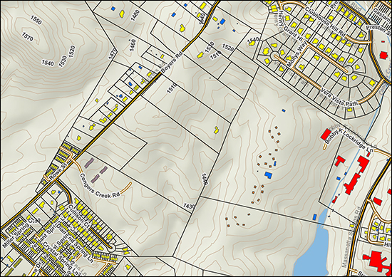
You can turn on 10 foot contour lines to better understand the lay of the land, so to speak, and to see how quickly the elevation of a parcel is changing...
You can turn on a zoning layer to quickly understand how different parcels are zoned in any particular part of the County...
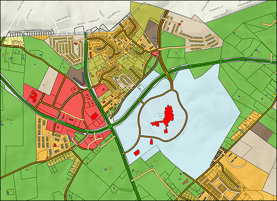
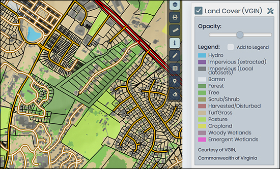
There is even a "land cover" layer that can give you a sense of whether parcels are covered with grass, trees, etc.
Check it all out at the link below and let me know of any further cool features you discover...

