Almost four years ago, I mentioned that you could
drive virtually through most of Harrisonburg using Google Street View, with the big disclaimer that the data was relatively limited. No longer.

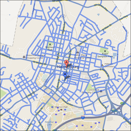
The blue lines above show all of the streets where the Google Street View car has driven to capture imagery.
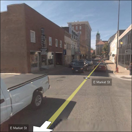
And the imagery is a LOT clearer! This is East Market Street in 2009....

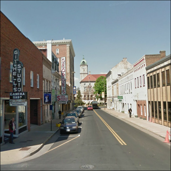
And this is the same general area in 2013....

This is certainly a wonderful way to explore the streets and neighborhoods of Harrisonburg!
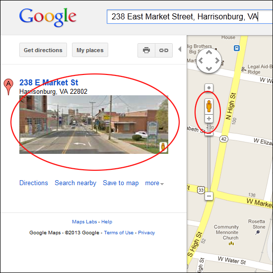
To access Google Street View, just click on the imagery to the left of a
Google Map (circled in red below) or drag the yellow Google Street View man onto the map (circled in red below).

Recent Articles:


